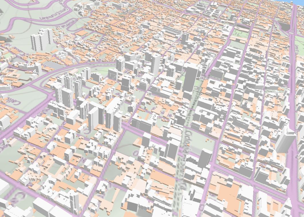
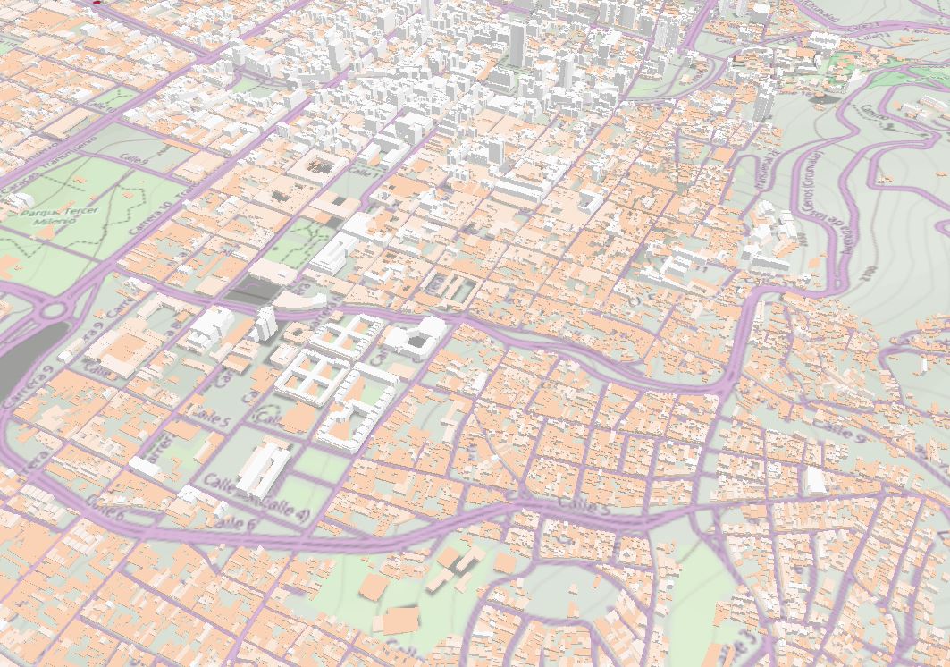
I’m clearly used to read maps and deduce such things as differences in building heights from a planar view. But sometimes it is clearly better to see what this means in a 3D view. According to cadastral data, this is how central Bogota (Colombia) looks like in terms of built bulk. The background map is from SOM, and altimetry data is SRTM.


I’m clearly used to read maps and deduce such things as differences in building heights from a planar view. But sometimes it is clearly better to see what this means in a 3D view. According to cadastral data, this is how central Bogota (Colombia) looks like in terms of built bulk. The background map is…


Leave a comment