geography

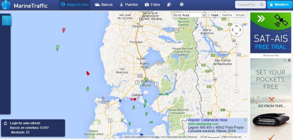
Maps 2014 (2) marinetraffic

 We usually think that maps can portray what has existed in a past moment or what could come into existence in a future. Up until now it was far less common to have dynamic maps of what was happening. This is precisely what marinetraffic.com does, exploiting data from the Automatic Identification Systems that are compulsory for any ship over 330 tons (this is the reason why most smaller ships do not appear).

Maps 2014 (1) OSM

 I have already said that before: I have a crush on maps. They are like stories that can be read in many directions, a good reason to give them a good place.

To begin this series, the 2013 yearly report produced by http://www.mapbox.com (https://www.mapbox.com/osm-data-report/) on the activity of openstreemap in 2013. This wonderful data source (used often in this blog) allows interesting journeys; it is not necessarily more detailed than google maps or similar systems, but it allows the download of data that can be reused (as in shp format), be it from geofabrik or other sites as cloudmade. Such open source software as gvsig or qgis allow the reuse of the daa (some cartography notions definitely help).

Biblio (38) The spatial economy

In 2001 Masahisa Fujita, Paul Krugman and Anthony Venables published “The Spatial Economy. Cities, Regions and International Trade”; the book is on sale, and you can access the intro chapter on Paul Krugman’s website. As those following this blog know, I am no economist, but I am interested on how such economy influences cities; some of the issues raised in the book refer to economic theories that I simply do not know, or that I could not judge by lack of knowledge, or event some that could raise my skepticism, not so much about their intellectual construction as about their practical utility. Despite that, I find interesting the way in which the evolution of the discipline is described, as leaning progressively, at least for some, rather towards what can be modeled into equations and not the whole picture.