Skip to content
metrhispanic
Français
Español
About Javier Barros and this blog
Biblio- selected readings
contact
About cities, architecture, and living beings…
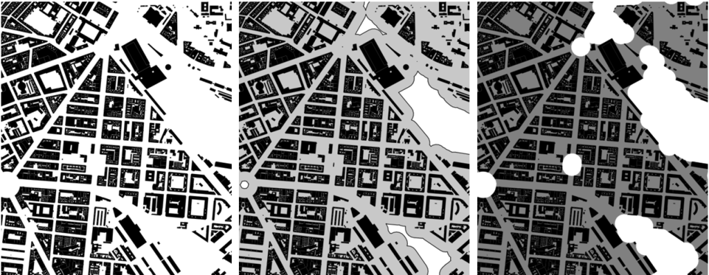
Papers (3) An approach to the use of open data in planning practice
Architecture
·
Maps
·
Spanish cities
Papers (2) Measuring conditions for life under lockdown
Uncategorized
Dimensions and scale (1)
Uncategorized
Papers (1) about open data in urban areas
Uncategorized
Finally back
Uncategorized
Soon back here…
Uncategorized
Happy 2015 summer
Uncategorized
Blocks (6) 22@ at Barcelona
Spanish cities
Blocks (5)- Maps 2015 (16) Barcelona as seen by the tax man
Maps
·
Spanish cities
Biblio (127). Swiss farmland protection
Uncategorized
Subscribe
Subscribed
metrhispanic
Join 188 other subscribers
Sign me up
Already have a WordPress.com account?
Log in now.
metrhispanic
Subscribe
Subscribed
Sign up
Log in
Report this content
View site in Reader
Manage subscriptions
Collapse this bar