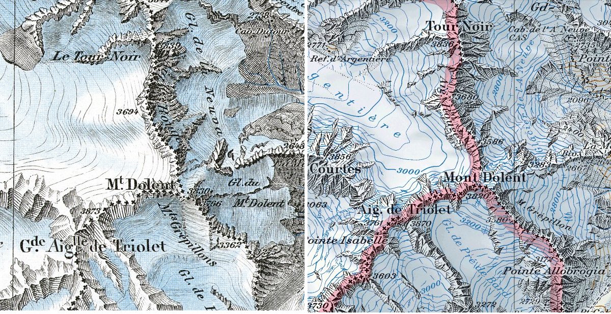
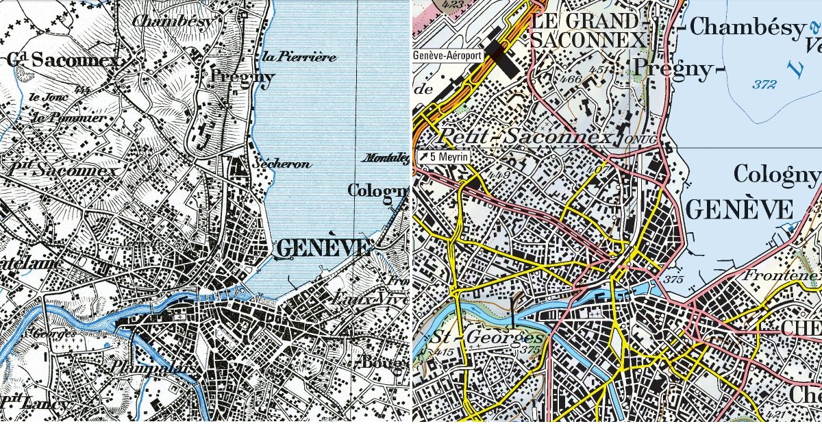
The Swiss national mapping office celebrates its 175 aniversary proposing a time travel with its maps from 1938 to our days, on an interactive map of the whole country. A treat for those loving maps.
By
·
The Swiss national mapping office celebrates its 175 aniversary proposing a time travel with its maps from 1938 to our days, on an interactive map of the whole country. A treat for those loving maps.
The Swiss national mapping office celebrates its 175 aniversary proposing a time travel with its maps from 1938 to our days, on an interactive map of the whole country. A treat for those loving maps.

the detail and accuracy it seems, in the 1938 map here is v. impressive.
Many European countries are launching similar sites, with wonderful sets of historical maps covering their entire territory (or almost), as with french geoportail of spanish iberpix. But the swiss maps have a special aesthetic quality that is really outstanding. I’m glad you enjoyed.

Leave a comment