 1628 image (from mexicomaxico.org)
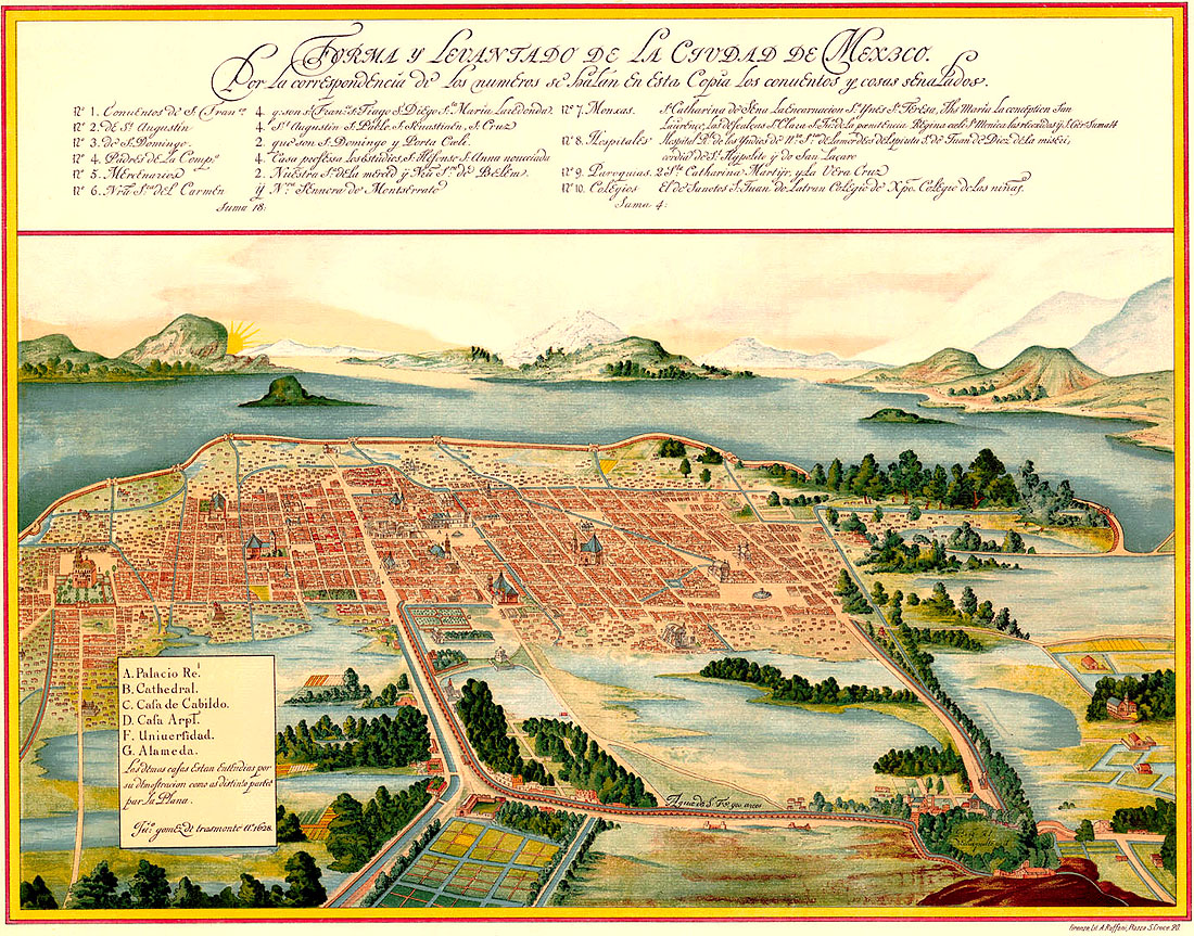
For some reason I found this week that image of Mexico city in 1628, drawn by Juan Gómez de Trasmonte and conserved at the Archivo General de Indias. A century after the conquest the city is still surrounded by lakes, and the structure of city blocks is apparent.
I also found that image of a mural by Diego Rivera (XXth century), representing the pre-hispanic city. Sure that is not a historical city, but I like the image.
 Diego Rivera, National Palace, Mexico (image from wikipedia)


Leave a comment