metrhispanic
Français
Español
About Javier Barros and this blog
Biblio- selected readings
contact
Tag:
Public land
Uncategorized
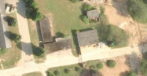
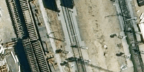
Rail land
Uncategorized
Public brownfields (3). Part Harperbury Hospital
Uncategorized
Public brownfields (2). Base Nature François Leotard
Uncategorized
Public brownfields (1)
Subscribe
Subscribed
metrhispanic
Join 188 other subscribers
Sign me up
Already have a WordPress.com account?
Log in now.
metrhispanic
Subscribe
Subscribed
Sign up
Log in
Report this content
View site in Reader
Manage subscriptions
Collapse this bar