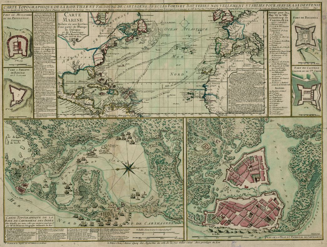
Cartagena de Indias was established in 1533, becoming a relevant port for the slave trade of the Spanish Crown in the Caribean sea (in a route in which Portobelo in Panamá was the main exchange point of slaves for Peruvian gold and silver, and Havana was the gate to the Caribean sea). The city was subject to siege several times (the first in 1544), mainly by French and English pirates, and fortified by Spanish and Italian engineers with an african workforce.

The walls, whose cost to the crown was widely commented, still exist for the most part, as well as some forts around, as the San Felipe de Barajas Castle. The two main islands are today united, and the colonial architecture can still be seen, mixed with more recent elements. When you compare the old map with the current image, please note that the former represents the west in the lower part of the image.


Leave a comment