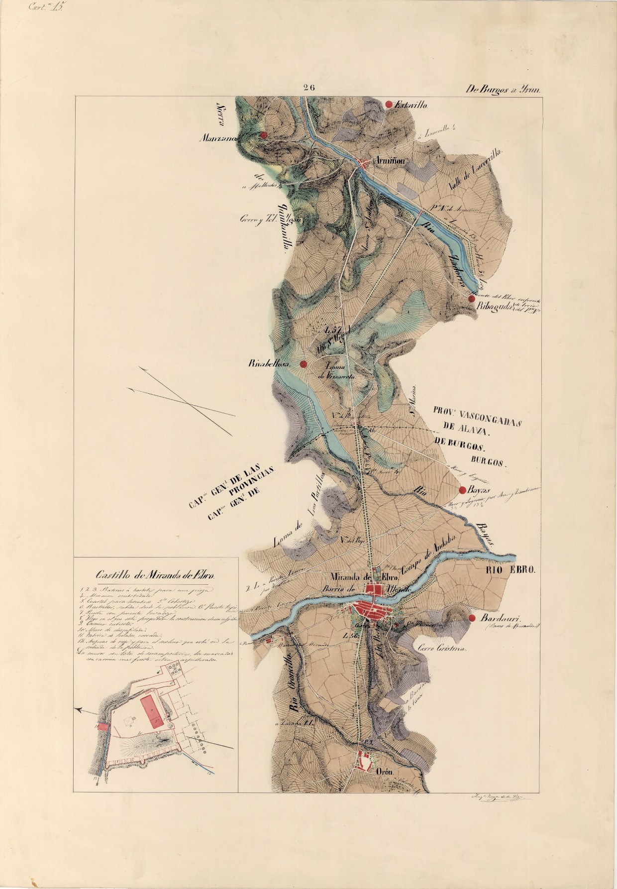
The map of the Madrid- Irún trail of 1849, conserved at the archive for cartography and geographic studies of the Geographic Center of the Spanish Army, describes in detail the travel between both cities. The use of contour lines was already common at the time, but here the land elevation is described in a more picturesque way, albeit an eloquent one. A map with a simple graphical style, but an elegant one.


Leave a comment