
I am more than used to see maps and imagery, and to derive from them an operative knowledge of places I have never set foot on. But sometimes you fall on maps like the Carte de Cassini, the first general map of France, drawn by the Cassini family using for the first time a triangulated network during the XVIIIth century, which despite having a just approximative accuracy regarding non-linear features, renders well the mental image you may retain from summer childhood visits… no wonder that is the model for maps in fantastic novels (Lord of the Rings, Jules Verne or similar) or films (The Hallelujah trail).
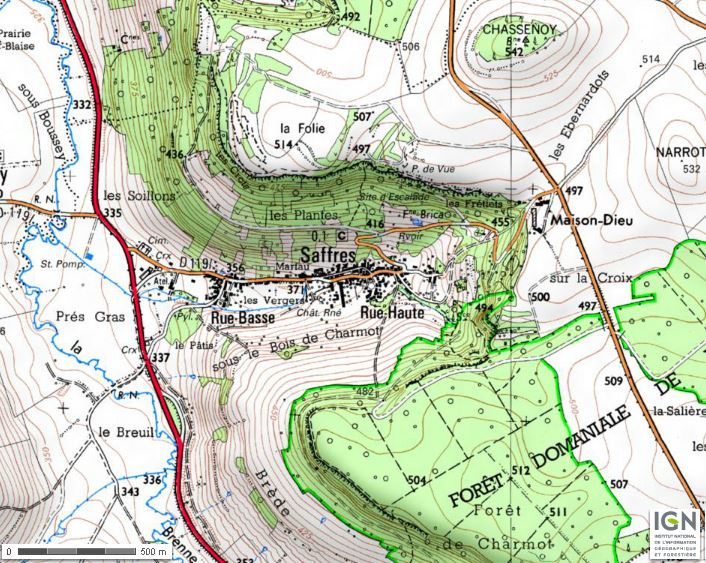
By the way, Saffres is in the Bourgogne region of France (find a map here). You can find, as always in France, excellent maps (including the Cassini) on http://www.geoportail.fr


Leave a comment