
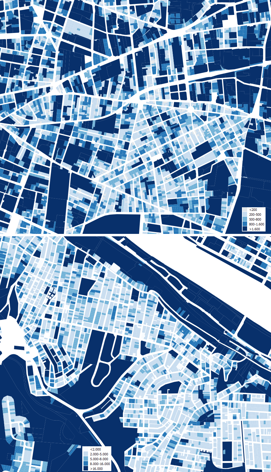
That’s the kind of comment that usually rises a few (malevolent) smiles: size matters. When talking about lot area (relevant as it defines the size of the buildings in plan, and so the urban image), these two cities that have so much in common in “social size” (population at different scales, albeit on rather different physical footprints), show a thing or two. Lyon’s parcels are rather fine when compared with central Pittsburgh, a more recent city in which corporate headquarters and such american features as open air parking (sure, less pervasive than in Houston) change the city. Therefore, a clear difference in “resolution” exists, besides the evident difference in architecture.

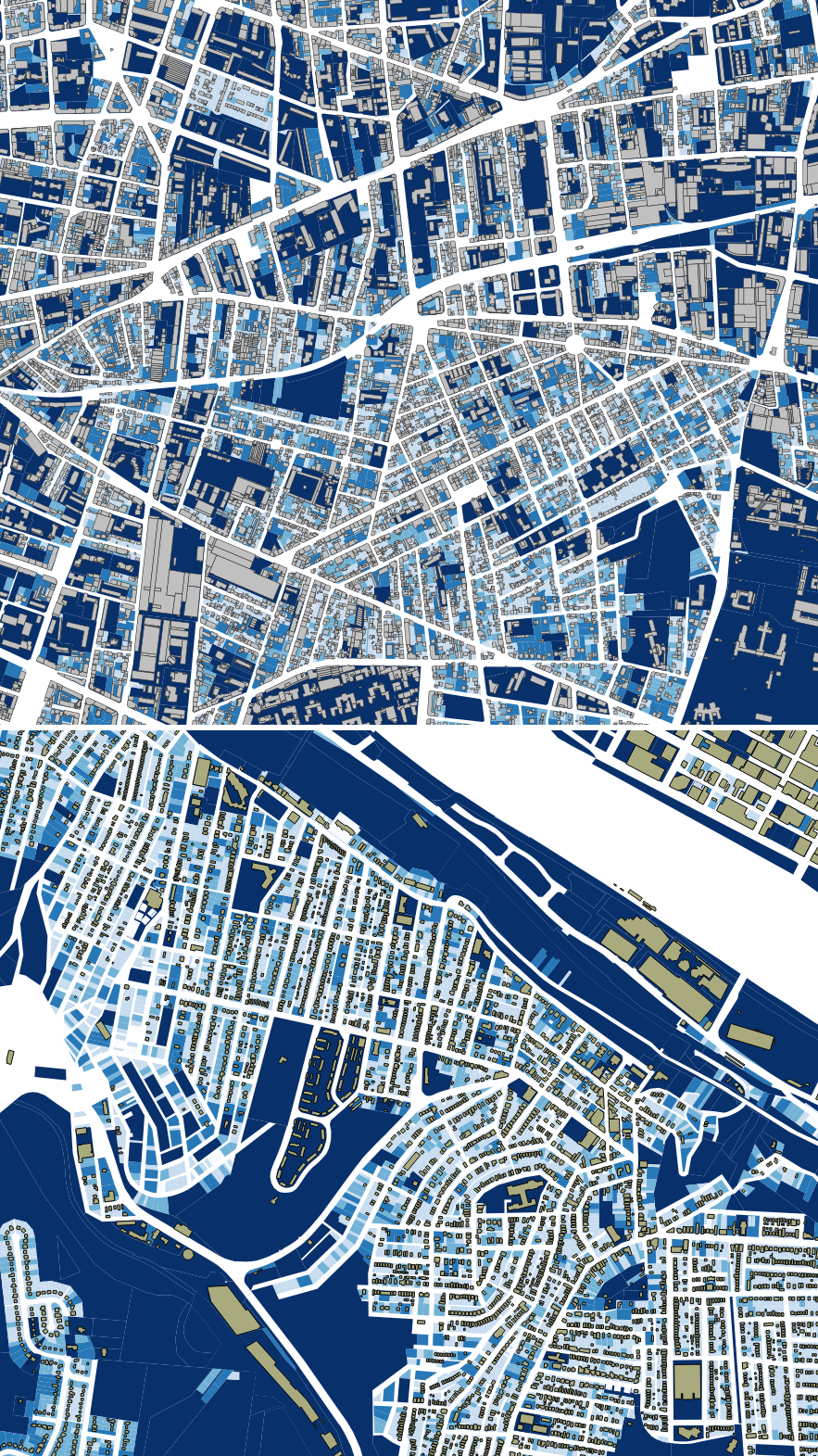
Add buildings, and despite the fact that the cartographic layers seem to have different criteria (we use what we find…), there are relevant similitudes but a clear differnce: the concept of courtyard, much more present (or so it seems) in Lyon.
Enter the neighborhoods near the core, but clearly out of it, and things change: the power of the American low density suburb appears. There are also individual homes in Lyon, but there are also appartments, that change the issue. Monotony against clutter? two kinds of clutter? add the buildings, and the European image becomes more complex. I would like to think it is also more sustainable…


Leave a comment