Being up to it (2) Altimetric Madrid

Overall hypsometry

Overall hypsometry

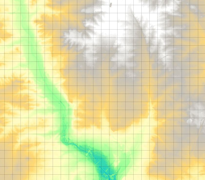
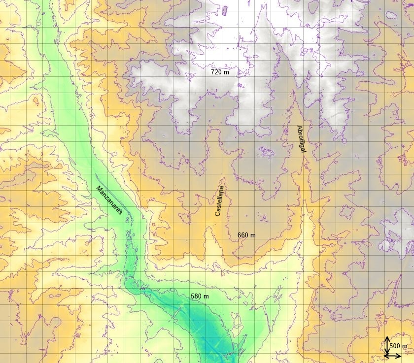
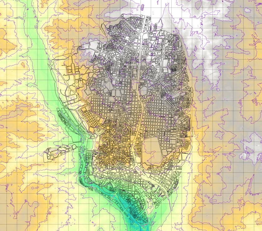
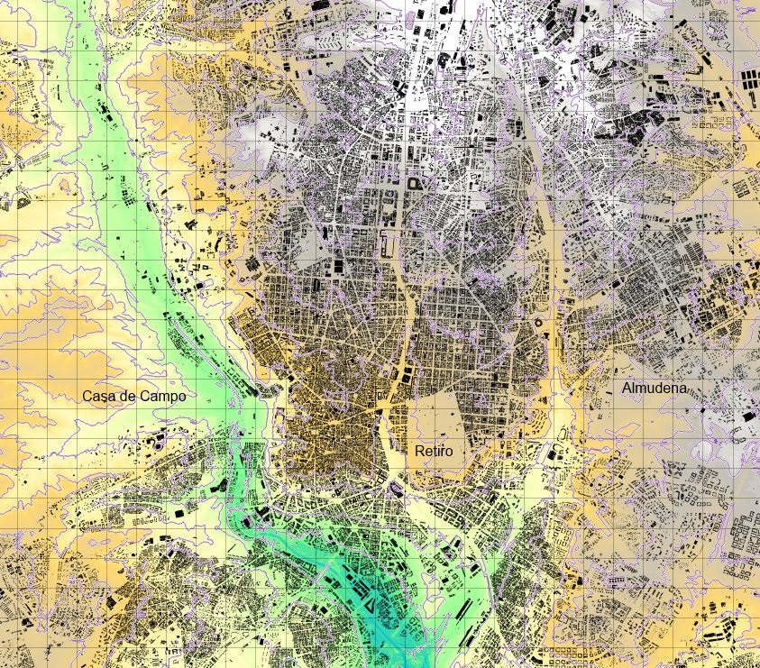
Any large city can have a complex setting, altough it is not compulsory (just think of the Randstat, Shanghai or New Orleans). Madrid has a certain terrain complexity, defined by the Manzanares (a quite tamed river), and the Abroñigal and Castellana creeks; Abroñigal is nowadays a corridor for the eastern M30 beltway and Castellana is the main north-south spine. The historical city began on the steep slopes of the eastern shore of the Manzanares, to later grow towards the east.

20 m contours, a river and two creeks

20 m contours, a river and two creeks

The central city on its setting

The central city on its setting

All the buildings (sort of...)

All the buildings (sort of…)

Leave a Reply

Fill in your details below or click an icon to log in:

WordPress.com Logo

You are commenting using your WordPress.com account. Log Out /  Change )

Facebook photo

You are commenting using your Facebook account. Log Out /  Change )

Connecting to %s