El Viso is a residential area built in Madrid in 1933-1936 according to the 1925 Low Coast Housing Act. It never really was a worker’s neighborhood, as it soon became an area for middle classes and intellectuals. Nowadays it is a kind of anomaly just by the denser area of Paseo de la Habana- Castellana.…
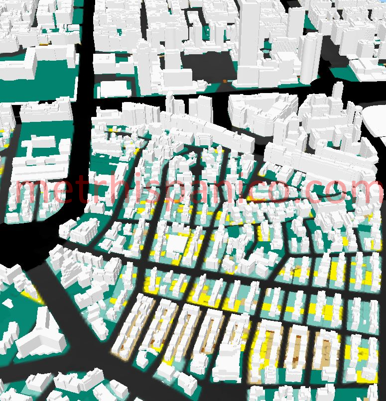
El Viso as seen from the south, according to cadastral data
El Viso is a residential area built in Madrid in 1933-1936 according to the 1925 Low Coast Housing Act. It never really was a worker’s neighborhood, as it soon became an area for middle classes and intellectuals.
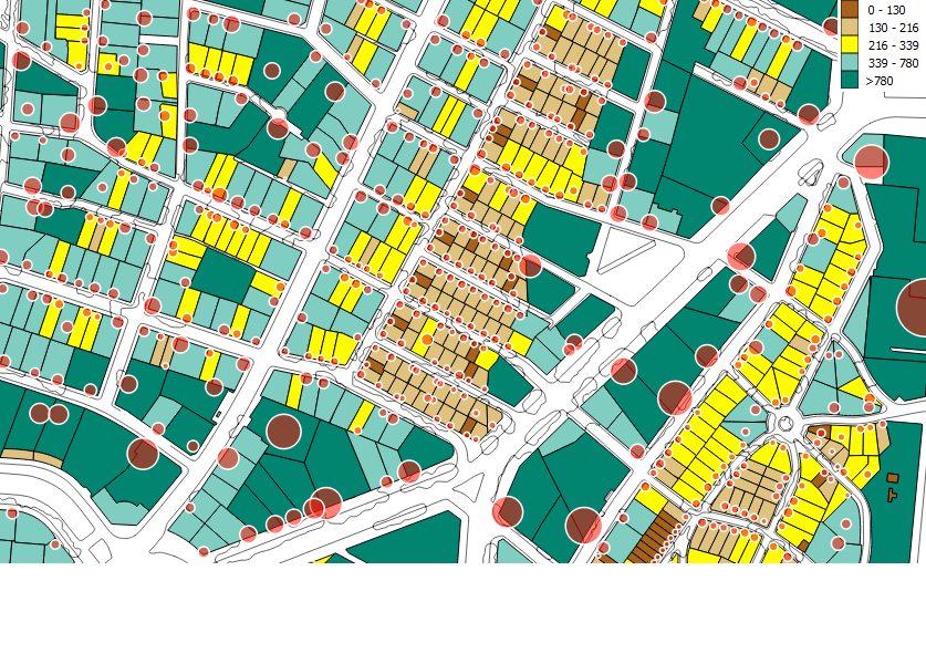
El Viso. Lot area (in sq m). Red circles are proportional to the residential floor area for each lot
Nowadays it is a kind of anomaly just by the denser area of Paseo de la Habana- Castellana. The original terraced homes have changed, gaining some levels here and ther, and some are now the location for other uses. However, the layout and the feeling of low density are still there. You can judge yourself thanks to google street view.
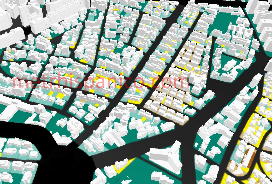
El Viso as seen from the east, according to cadastral data. On the background the AZCA towers show their presence.


Leave a comment