
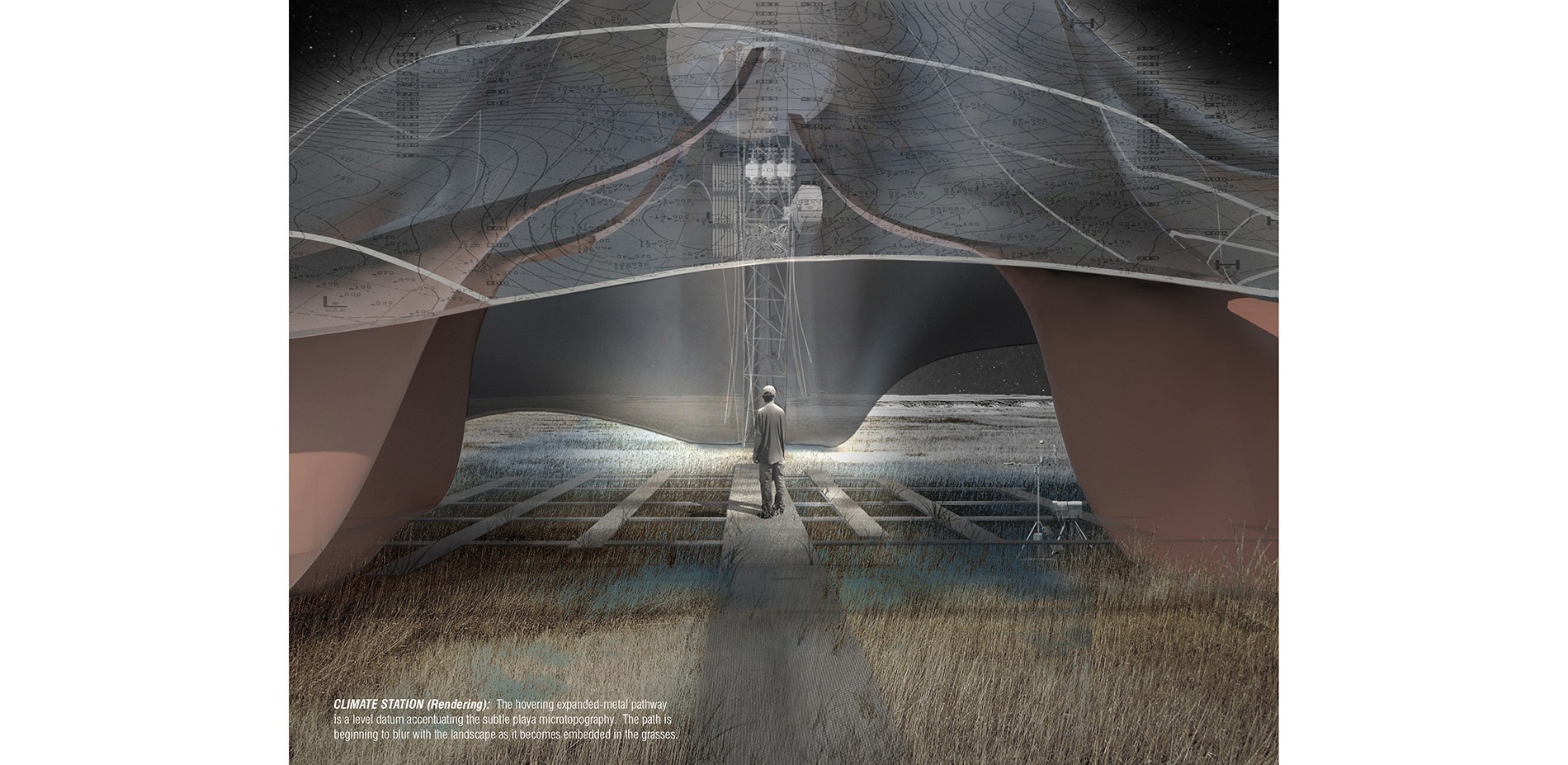
This first example of 2015 is not really a map, but rather a rendering of an idea that has received an award in a competition for students held by the American Society of Landscape Architects. Its author, Reid Fellenbaum, proposes a strategy for the evolution of the central US plains, threatened by the gradual depletion of the aquifers that water its cereal crops. He summarizes the project as an evolution from the current Jeffersonian grid towards a more fine-grained arrangement in a land which is more fragile than it seems. I’m not talking about feasibility (which would be complex to judge in its entirety), even if it is clear that traditional cultivation techniques probably could provide some useful tricks, but rather about the graphical quality of the presentation, which is quite good.
Besides, this project addresses an issue, the “grain” of the land, on which I will soon write… widely.


Leave a comment