metrhispanic
Français
Español
About Javier Barros and this blog
Biblio- selected readings
contact
Month:
June 2012
Tourism
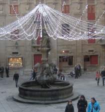
Tourism spaces (3b)
Tourism
Tourism spaces (3)
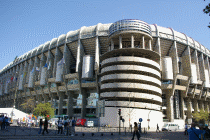
Car and city
,
French cities
,
Spanish cities
,
US cities
Some numbers about Madrid (3)
Uncategorized
Urban freeways (update)
Uncategorized
Tourism spaces (2)
Uncategorized
Tourism spaces (1)
Uncategorized
Some numbers about Madrid (2)
Uncategorized
Some numbers about Madrid (1)
Uncategorized
Millions
Uncategorized
Urban freeways (4 and final)
Subscribe
Subscribed
metrhispanic
Join 188 other subscribers
Sign me up
Already have a WordPress.com account?
Log in now.
metrhispanic
Subscribe
Subscribed
Sign up
Log in
Report this content
View site in Reader
Manage subscriptions
Collapse this bar